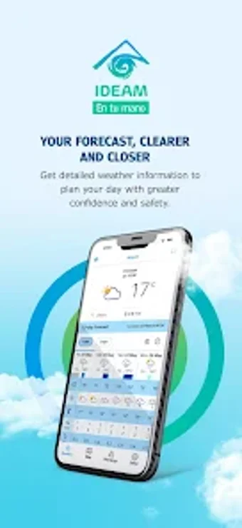
Official Colombian weather and hydrology alerts on Android
Mi Pronóstico (Ideam in your hand) from IDEAM COLOMBIA provides authoritative meteorological and hydrological information for everyday safety and planning. The app collects and packages localized forecasts, hazard notices, and climate summaries into municipality-level guidance for citizens and services. It highlights map-based imagery, sector-specific pages, and notification delivery to keep users informed. The primary audience includes Colombian residents, travelers, farmers, transport operators, and emergency responders who need government-verified situational awareness.
How the app supports operational tracking with visual data
The app supplies imagery and mapped layers that help users follow unfolding weather and water events. It displays satellite GOES views and radar-derived precipitation maps showing temperature and wind patterns, enabling on-the-ground actors to monitor approaching systems. In practice, the map interface groups layers so users can view precipitation intensity, surface temperature, and wind overlays together, which suits field teams that check conditions before deployments.
What the tool delivers for sector-specific daily decisions
Specialized content targets agriculture, transport, and disaster planning needs. The app includes dedicated sections that present forecasts and hydrological indicators tailored to those sectors, so operators can consult risk messages relevant to crop management, route planning, or flood-prone watersheds. Notifications for forest fire risk, landslides, and flood potential are routed through the app to inform preparatory actions for those working in sensitive areas.
Platform reach, setup needs, and intended users
Designed for Android devices, the app expects a stable internet connection for live updates. It is available via the Google Play distribution channel and fits routines for municipal residents, travelers within Colombia, farmers, logistics operators, and emergency teams. Daily use assumes connectivity to refresh radar imagery and to receive timely hazard messages; field operators without reliable service should plan alternative information channels.
User reception and maintenance notes from the field
Users value the data source but report periodic interface and loading refinements. Feedback describes reliable, government-verified information as the app’s strength, while navigation speed and screen responsiveness receive occasional updates from the developer. Those operating under tight time constraints may notice load delays when switching heavy map layers during active events.
Practical choice for users who need official situational awareness
The app is a practical option for Colombian users and sector professionals who want official, location-specific environmental information to guide daily safety decisions. Expect steady data updates from the national agency, though mobile performance can vary during heavy map use. Pro tip: enable system notifications and keep the app updated to receive current alerts promptly and reduce the chance of missed warnings.
Pros
Authoritative, government-verified forecasts and alerts
Map layers and satellite imagery for operational condition monitoring
Sector pages tailored to agriculture, transport, and risk management
Android availability through the Play channel for broad mobile access
Cons
Requires a stable internet connection for live data
Interface and loading speed receive periodic refinement
Performance can slow when heavy map layers are active
Laws concerning the use of this software vary from country to country. We do not encourage or condone the use of this program if it is in violation of these laws. Softonic may receive a referral fee if you click or buy any of the products featured here.